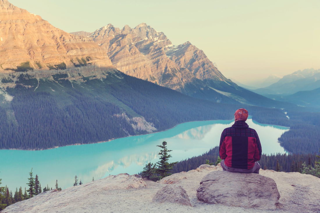
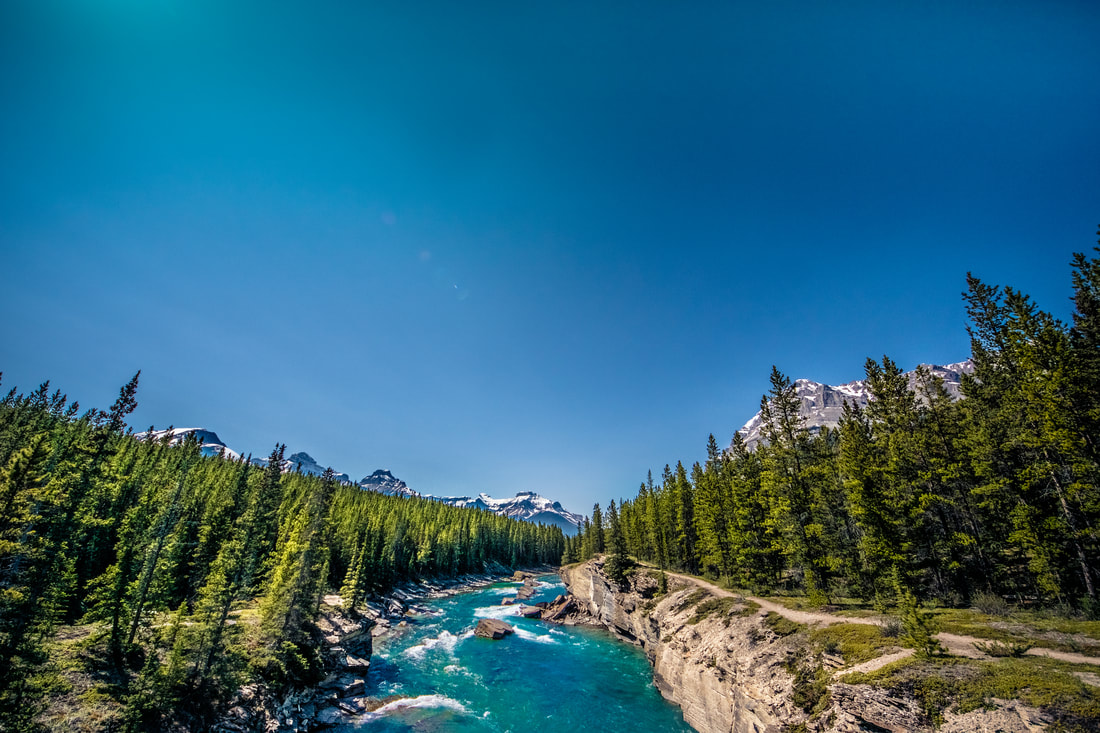
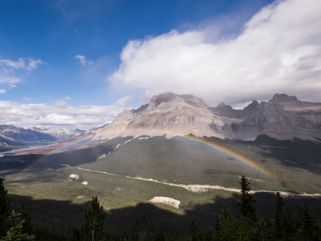
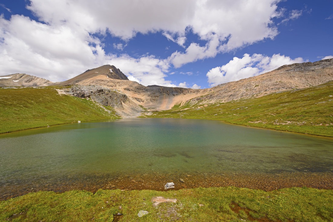
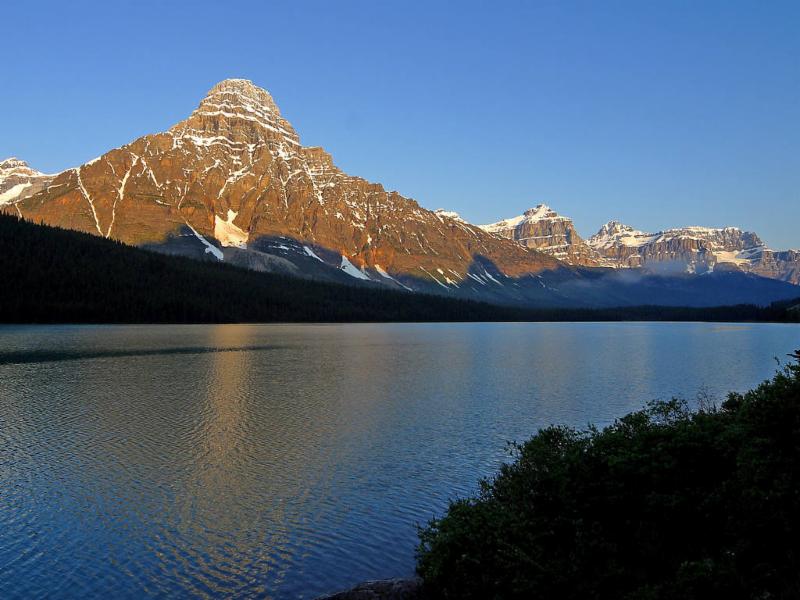
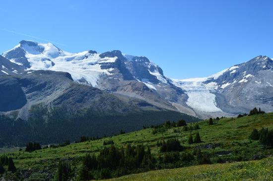
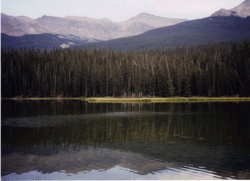
Reminder: Before you head out for your hike today, stop in to our General Store to pick up your box lunch and check out our hiking supplies for a water bottle, sunglasses, or any other hiking needs. Use the following link for hike descriptions/trailhead locations for trails accessible to The Crossing Resort, and then click on Icefields Parkway area. www.pc.gc.ca/pn-np/ab/banff/activ/randonee-hiking/lakelouise.aspx
Comments are closed.
|
Book Online
We Are Going Green
|

LocationThe Crossing Resort
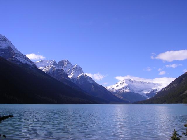
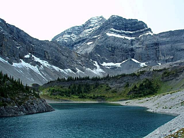
Improvement District No. 9, AB, Canada The Crossing Resort is located 85 kms (51 mi) north of Lake Louise, at the junction of Highway # 93 (the Icefields Parkway), and Highway # 11, the David Thompson Highway. |
Quick linksBag 333
Lake Louise, Alberta Canada, T0L 1E0 |
ConNECT WITH Us
ContactPhone: 403-761-7000
Toll free in Alberta and B.C.: 1-800-387-8103 Fax: 403-761-7006 E-Mail: [email protected] |
© The Crossing Resort 2019-23. All Rights Reserved. Website designed by STS Marketing Agency.